

Riverston & Pitawala Pathana
A misty grassland plateau, a 300-metre cliff drop, and cloud forest that holds a third of Sri Lanka's endemic plants — roughly two hours from Wasgamuwa.
- Altitude
- 1,200–1,464 m
- From Kandy
- 52 km / ~2.5 hrs
- Trek to Peak
- 2.5 km
- Status
- UNESCO Heritage
- Best Months
- Feb & Aug–Sep
A Quieter World's End
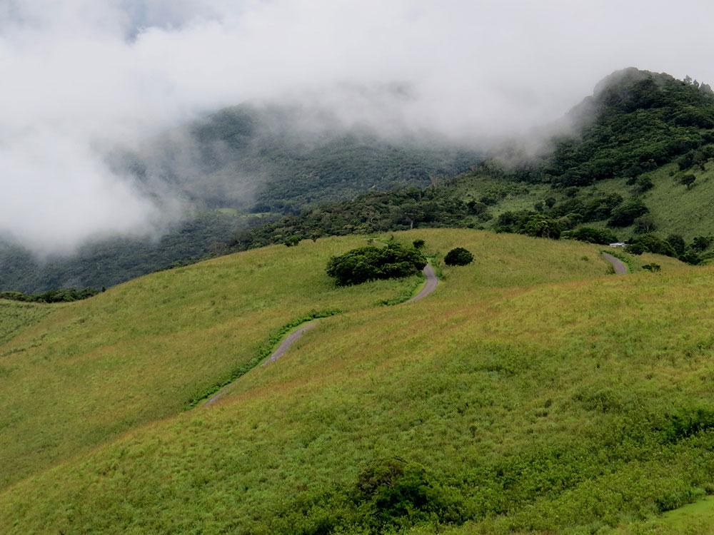
Riverston sits inside the Knuckles Conservation Forest, part of Sri Lanka's Central Highlands and inscribed as a UNESCO World Heritage Site. Locally the range is known as Dumbara Kanduvetiya, for the way its peaks fold and knuckle together. The road up from Matale climbs in tight switchbacks that turn the drive itself into part of the experience, before opening onto Pitawala Pathana — a windswept grassland plateau at around 1,200 metres.
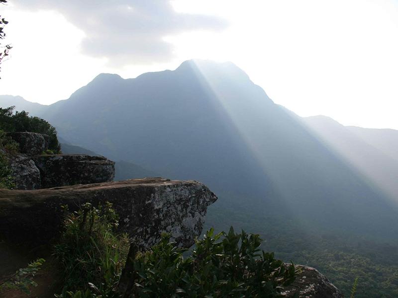
At the far edge of the plateau, the ground simply stops: a cliff falls roughly 300 metres to the valley floor, a spot known locally as Riverston's “mini World's End,” with views across the Knuckles peaks and the terraced paddy fields of the dry zone beyond. It's a smaller, quieter cousin to Horton Plains' famous World's End — minus the crowds and the pre-dawn queue.
Riverston's real weight, though, is ecological. This range covers barely 0.03% of the island's land area, yet holds more than a third of Sri Lanka's endemic trees, shrubs and herbs. Cloud forest at the higher elevations gives way to orchids, mosses and ferns found nowhere else, and more than half of the reptiles and amphibians recorded here exist nowhere outside Sri Lanka.
Plateau, Cliff & Waterfalls
Pitawala Pathana
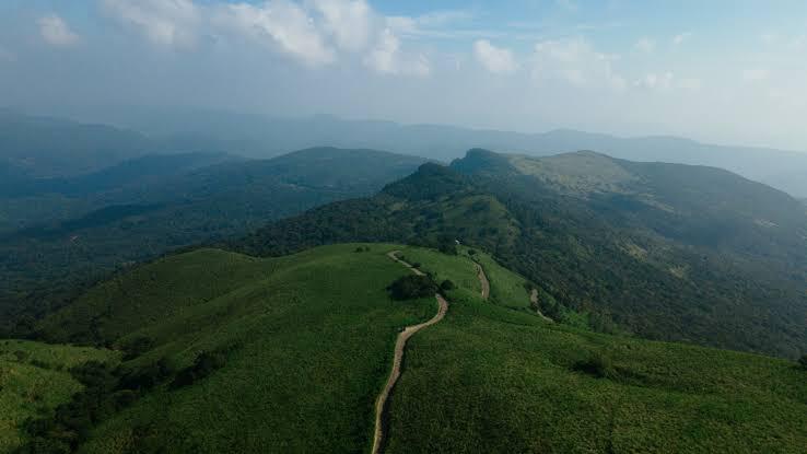
A roughly 1,000-acre grassland plateau at around 1,200 metres, reached by a 2.5 km trail from the Riverston car park — open, wind-blown slopes that feel closer to a highland moor than tropical Sri Lanka.
The Mini World's End
At the plateau's edge, the ground drops away roughly 300 metres in a sheer cliff, looking out over the folded peaks of the Knuckles Range and the terraced paddy fields below — Horton Plains' famous view, without the crowds.
Bambarakiri & Sera Ella
Two waterfalls sit within reach of the same road: Bambarakiri Ella, about 16 km from Matale on the way up, and Sera Ella, known for the cold spray that reaches the rocks visitors sit on beside it.
Thelgamu Oya
A clear mountain stream near the base of the climb, cold even in the dry season, and a popular spot to cool off before or after the trek up to the plateau.
From Kandy, Matale — or Wasgamuwa
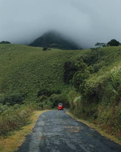
Riverston is about 52 km from Kandy, roughly a 2.5-hour drive, or 30 km up from Matale town along the Matale–Girandurukotte road — a route that stays in good condition even as it switches back through the hills.
For visitors basing themselves around Wasgamuwa, Riverston is a natural add-on: roughly two hours by road, and easy to route through if you're already passing Matale or Kandy on the way in or out. Arrive early morning for the clearest views — cloud tends to settle over the plateau by midday.
Riverston in Frame
A landscape that changes by the hour, as mist rolls over the plateau and clears again.
Frequently Asked Questions
How do I get to Riverston from Kandy?
Riverston is about 52 km from Kandy, roughly a 2.5-hour drive via Matale. The final stretch climbs through winding, hairpin roads, with panoramic views opening up as you gain altitude.
What is Pitawala Pathana?
Pitawala Pathana is a roughly 1,000-acre grassland plateau at about 1,200 metres, reached via a 2.5 km trek from the Riverston car park. Its open slopes lead out to a cliff edge known locally as the "mini World's End."
Is Riverston part of a UNESCO World Heritage Site?
Yes. Riverston sits within the Knuckles Conservation Forest, part of the Central Highlands of Sri Lanka, inscribed as a UNESCO World Heritage Site in 2010 for its exceptional biodiversity and cloud forest.
What is the best time to visit Riverston?
The dry season — January to March, and again July to September — generally brings the clearest views, with February and August–September rated the best months for long-distance visibility. Arrive early morning, before midday cloud rolls in over the peaks.
Can Riverston be combined with a Wasgamuwa safari?
Yes. Riverston sits roughly two hours from Wasgamuwa by road, making it a natural add-on before or after a safari, especially if you're already routing through Matale or Kandy.