

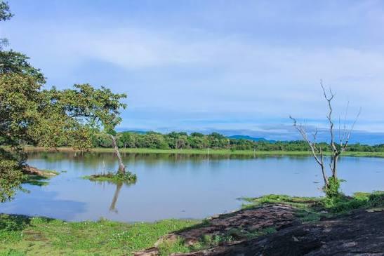
Landscape & Terrain
Forest, floodplain and grassland shaped by the Mahaweli River — the terrain that gives Wasgamuwa its wildlife.
- Habitat
- Dry-zone forest
- Border River
- Mahaweli
- Highest Point
- Sudu Kanda, 470 m
- Avg. Temp
- 28°C
- Rainfall
- 1,650–2,100 mm
A Dry-Zone Patchwork
Wasgamuwa sits squarely in Sri Lanka's dry zone, where the landscape is a patchwork of primary and secondary dry evergreen forest, denser riverine jungle hugging the waterways, and open grassland. Average temperatures hover around 28°C year-round, with annual rainfall of 1,650–2,100 mm falling mostly between October and January.
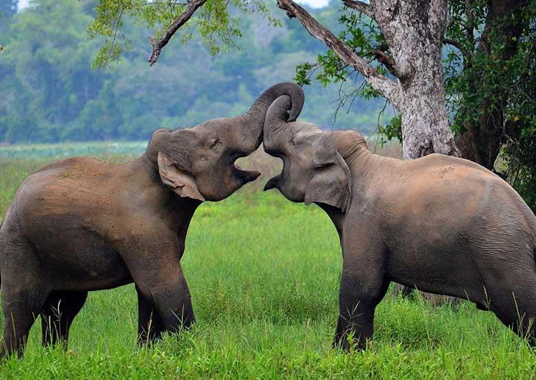
The Mahaweli River, Sri Lanka's longest, defines the park's eastern edge. Along its floodplains lie the villus — shallow, seasonal wetlands that flood in the wet months and dry into rich grazing land, and talawas, the drier open grasslands further inland. Both are where elephant herds spend much of their time, which is why the terrain here so directly shapes the wildlife you'll see.
Scattered through the forest are also older, man-made water bodies — ancient irrigation tanks, still holding water centuries after they were built. They now function as part of the park's natural ecosystem, drawing crocodiles, water birds and grazing animals alike; their origin is covered on the history page. The park's highest point, Sudu Kanda (“White Mountain”), rises to 470 metres above it all.
How the Seasons Change It
The wet season (October–January) turns the grasslands lush and green but can make some tracks difficult to pass. The dry season (July–September) burns the grass back to gold, opening up sightlines across the villus and concentrating wildlife around the remaining water — generally the better window for visibility. See the best time to visit page for a full month-by-month guide.
Continue Exploring
See what lives in this terrain, and the ruins hidden within it.
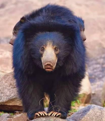
Size, location, entry points and the rules of a park named for the sloth bear.
Read More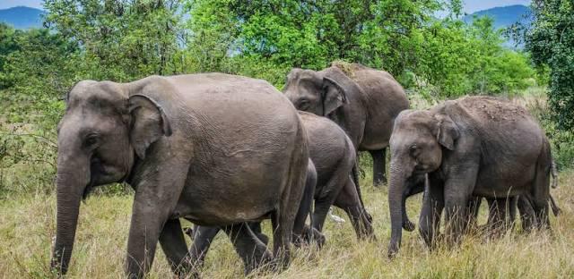
Elephant herds up to 150 strong, sloth bears, leopards and the animals that call Wasgamuwa home.
Read More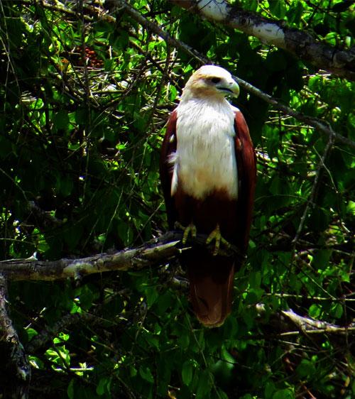
143 recorded species, 8 found only in Sri Lanka, from riverine raptors to migrant waders.
Read MoreAncient tanks built by King Parakramabahu I and a battleground from Sri Lanka's early kingdoms.
Read More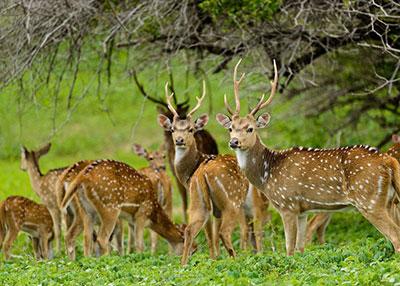
When the herds gather, when the migrants arrive, and how the seasons shape a safari here.
Read MoreFrequently Asked Questions
What is the terrain like in Wasgamuwa National Park?
Wasgamuwa is mostly dry-zone forest — a mix of primary and secondary jungle, riverine forest along the Mahaweli River, and open grassland known locally as villus and talawas, which flood seasonally and draw grazing wildlife.
Which river runs through Wasgamuwa National Park?
The Mahaweli River, Sri Lanka's longest, runs along the park's eastern boundary. Its floodplains and marshy villu grasslands are central to why the park supports such large elephant herds.
What is Sudu Kanda?
Sudu Kanda, or "White Mountain," is Wasgamuwa's highest point at 470 metres — a rocky outcrop rising above the surrounding forest and grassland.